Features
What AVICORE does today.
The Phase 1 Web MVP — live now for pilots across East Africa.
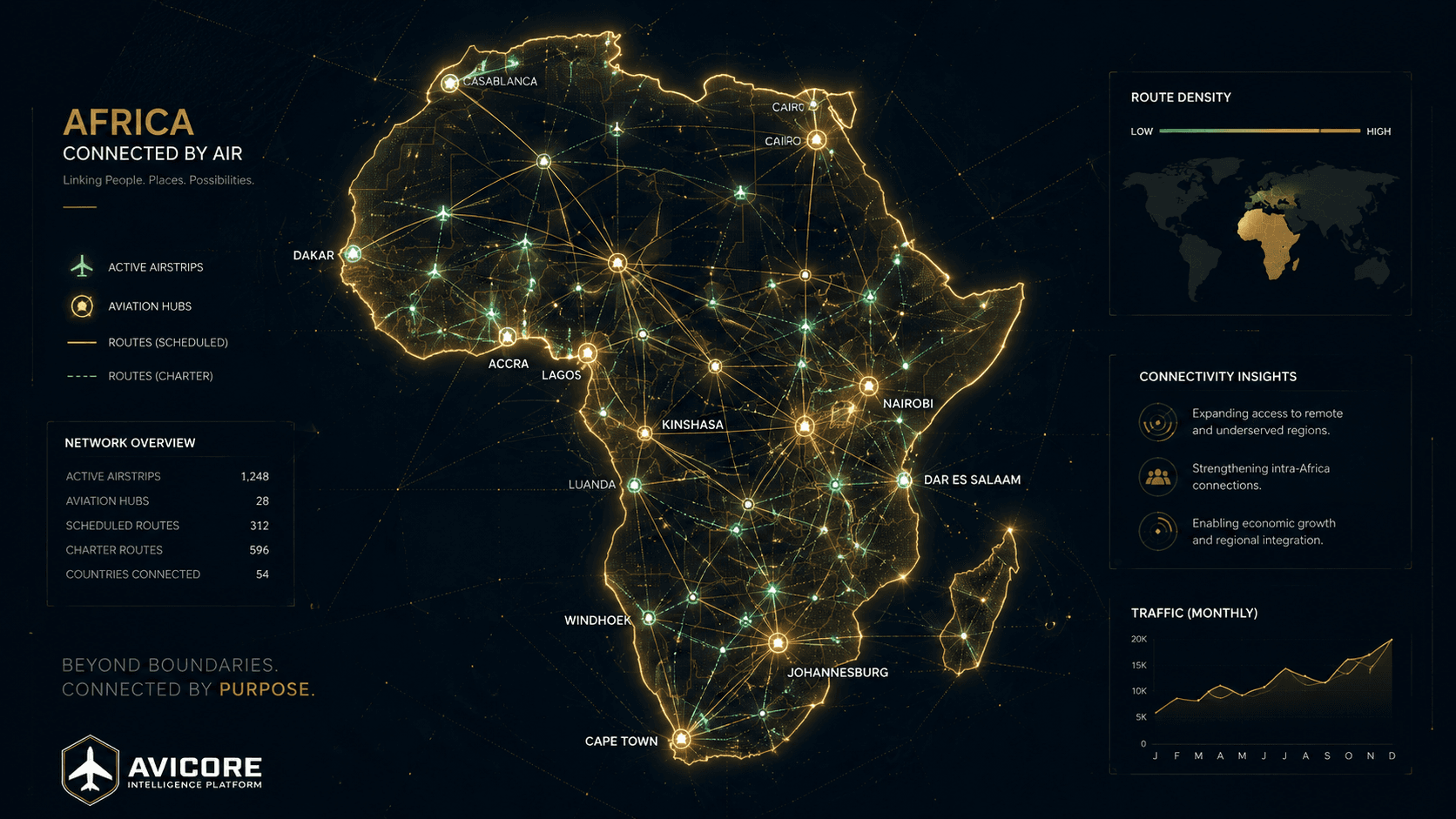
Aviation Intelligence Map
Airports, bush strips, weather, wildlife, fuel and pilot reports layered on one live MapLibre map.
Airstrip Intelligence
Per-strip runway data, weather, density altitude, a colour-coded AI safety score and recent reports.
Community Reporting
Runway, fuel, wildlife, security, weather and hazard reports — moderated, then surfaced on the map and feed.
Digital Pilot Passport
Licenses, ratings, medicals and a digital logbook with proactive expiry warnings.
Operations Dashboard
Flight hours, active alerts, monitored strips and currency at a glance.
Africa-first foundation
Regional context, free map tiles, and a design built mobile-first for East African connectivity.
On the roadmap
Where AVICORE is going.
The vision beyond the MVP. These capabilities are in development across later phases — shown so partners see the full picture, not implying they ship today.
Android Pilot Assistant
Offline-first EFB with on-device performance computing, GPS logging and turbulence mode.
AI flight assistants
ATC communications simulator, computer-vision logbook scanner, NL dispatch and post-flight analysis.
Operator / ATO suite
Multi-tenant workspaces, FDTL & rostering, KCAA Form AIR 068, scheduling and billing.
Compliance stack
Regulatory submissions, audits and license validation across African authorities.
Bush-strip stations
Solar 4K cameras, edge AI and weather sensors with Starlink connectivity.