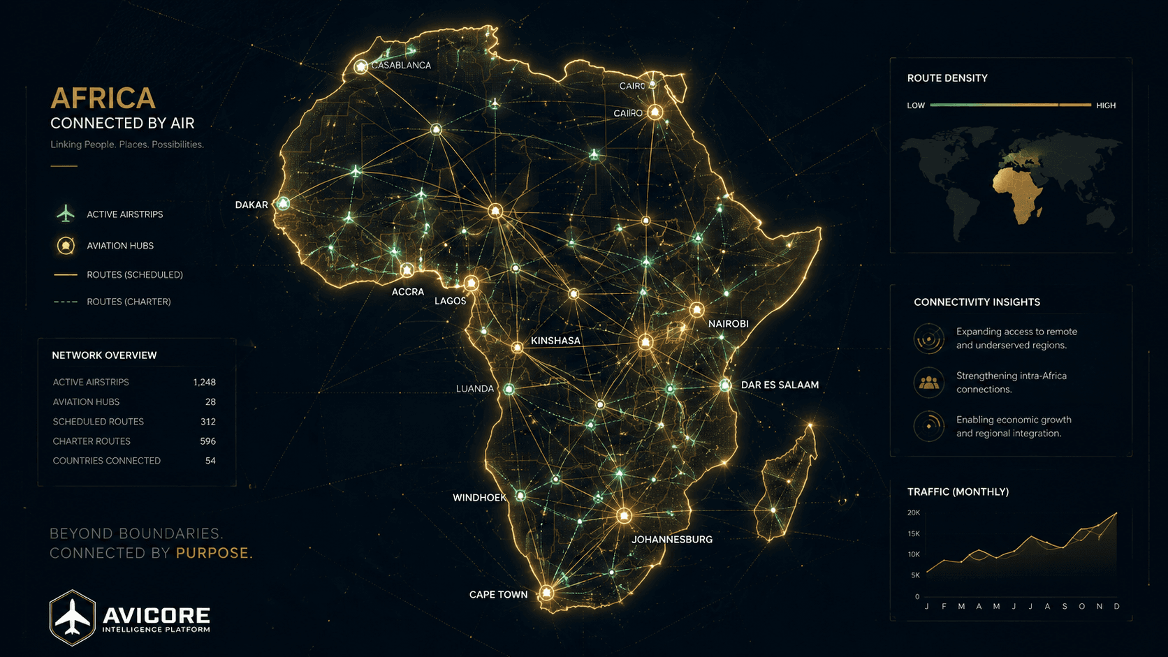
Airstrip Intelligence
Every strip, digitally connected.
From Wilson to Keekorok, Talek and Governors' — the operational picture that lets you decide before you commit.
Amboseli (HKAM)
Kajiado · 3,755 ft · Murram · 17/35
Gusty crosswind on approach; dust on the surface — caution advised.
What you see for every strip.
Runway & surface
Length, width, surface (tarmac, murram, grass, gravel, sand) and orientation for every strip.
Density altitude
Computed from elevation, pressure and temperature — the figure that decides performance at high-and-hot strips.
Live conditions
Wind, temperature, dewpoint, QNH and visibility, with a staleness note when data ages.
AI safety score
A deterministic 0–100 read that weighs surface, length, density altitude, wind and recent reports — explainable, never a black box.
Recent reports
Approved community reports for the strip, newest first.
Nearby strips
The nearest alternates, ranked by distance.
Live 4K bush-strip camera stations are on the roadmap (Phase 4 hardware). See the roadmap.